
Autumn Hike in DseghToday · 07:30
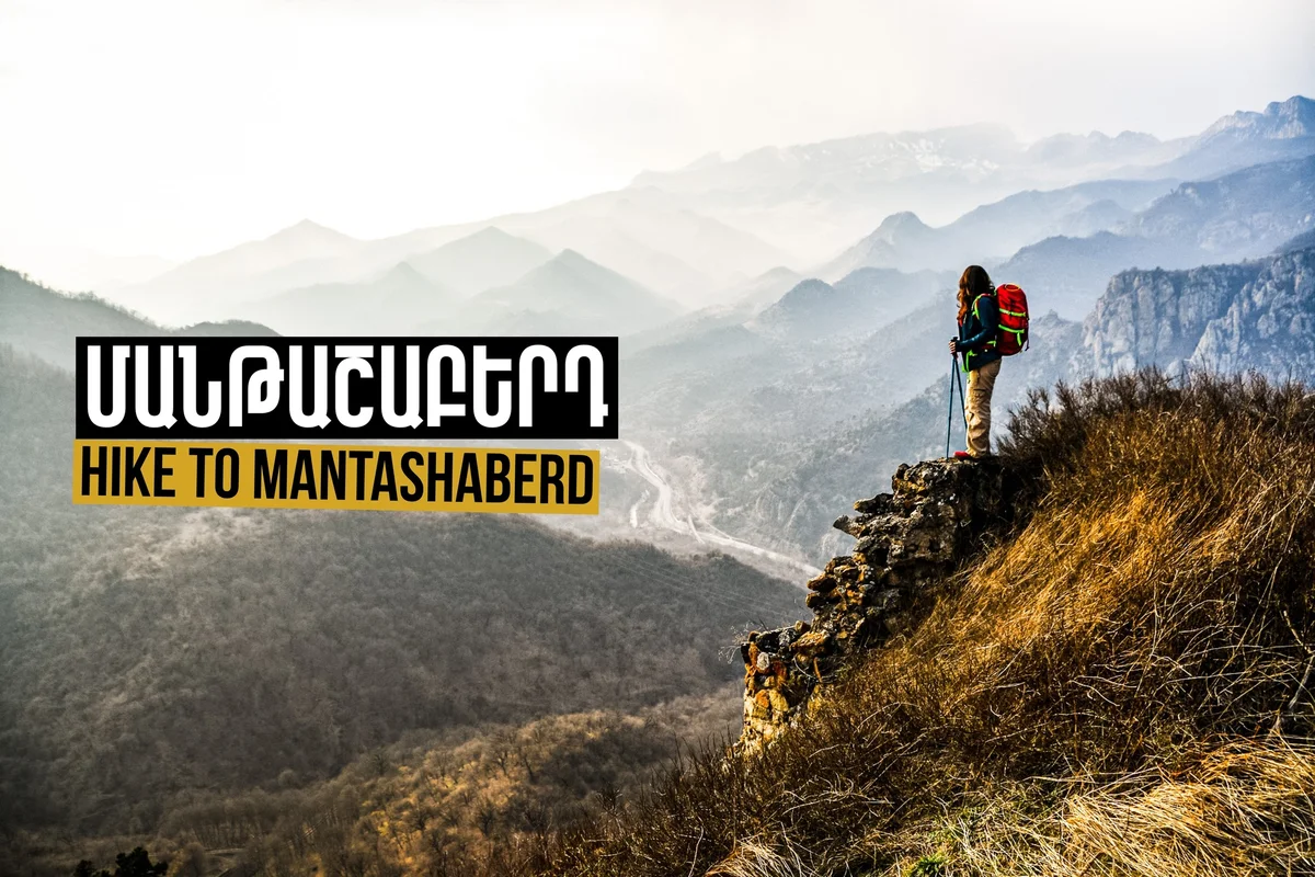
Hike to Mantashaberd Fortress
A hike to Mantashaberd fortress (also known as Ashot Yerkat fortress), located in the Tavush province. The route starts from Gandzakar village and ends in the Aghstev valley. Route details: • Length: 11 km • Altitude gain: 500 m The price includes transport and guide service. Required and recommended gear: • Backpack (required) • Hiking or sports boots with hard soles, plus a spare pair of shoes • Warm and sporty comfortable clothing • Food for one day and at least 1.5 liters of water • Trekking poles (optional) • Raincoat • Headlight • Hiking gaiters • Sunglasses, cap, and sunscreen • Personal first aid kit Please arrive at the meeting point at least 10 minutes early; the bus will not wait for latecomers, and tickets are non-refundable for missed departures. Cancellations are accepted until 12:00 PM one day prior to the trip; late cancellations are non-refundable. Registration: call 043 00 5165 or message Armenian Geographic on Facebook (Monday to Saturday, 10:00 AM–6:30 PM). First-time participants must complete the organizer's sign-up form. Payment is made by bank transfer (specify your name, surname, or phone number) and confirmed by sending a screenshot of the receipt via Facebook Messenger.
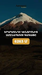
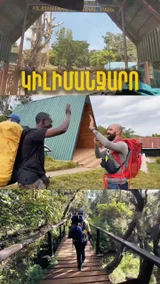
Armenia-based hiking and trekking operator running day hikes, multi-day treks and international mountaineering expeditions (Ararat, Kilimanjaro, Elbrus, Everest Base Camp, Machu Picchu, etc.). Combines scenic nature and cultural site visits with guided, safety-focused outdoor experiences for tourists and local hikers.
A hike to Mantashaberd fortress (also known as Ashot Yerkat fortress), located in the Tavush province. The route starts from Gandzakar village and ends in the Aghstev valley. Route details: • Length: 11 km • Altitude gain: 500 m The price includes transport and guide service. Required and recommended gear: • Backpack (required) • Hiking or sports boots with hard soles, plus a spare pair of shoes • Warm and sporty comfortable clothing • Food for one day and at least 1.5 liters of water • Trekking poles (optional) • Raincoat • Headlight • Hiking gaiters • Sunglasses, cap, and sunscreen • Personal first aid kit Please arrive at the meeting point at least 10 minutes early; the bus will not wait for latecomers, and tickets are non-refundable for missed departures. Cancellations are accepted until 12:00 PM one day prior to the trip; late cancellations are non-refundable. Registration: call 043 00 5165 or message Armenian Geographic on Facebook (Monday to Saturday, 10:00 AM–6:30 PM). First-time participants must complete the organizer's sign-up form. Payment is made by bank transfer (specify your name, surname, or phone number) and confirmed by sending a screenshot of the receipt via Facebook Messenger.
Armenia-based hiking and trekking operator running day hikes, multi-day treks and international mountaineering expeditions (Ararat, Kilimanjaro, Elbrus, Everest Base Camp, Machu Picchu, etc.). Combines scenic nature and cultural site visits with guided, safety-focused outdoor experiences for tourists and local hikers.
