Daytime Herouni TourToday
Hiking Mount Kalasar
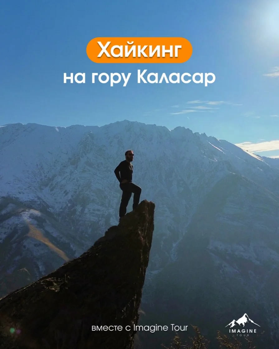
A hike exploring Mount Kalasar in the Vayots Dzor region. The route passes through the ruins of the old village of Kalasar, ascends along a mountain ridge, reaches fortress wall remains at the summit, and takes in panoramas of the canyon and the Vardenis and Teksar ridges, including a scenic photo spot on a rock, followed by a picnic outdoors. Included: • Round-trip transfer from Yerevan Trail details: • Distance: ~8.5 km • Elevation gain: ~500 m • Altitude: 2200 m • Difficulty: light+ Registration: message the organizer on Instagram.
Armenia-based tour operator offering group and private day trips, transfers and turnkey events — from photo tours, wine tastings and culinary walks to hikes, jeep safaris and cultural city tours led by local guides. Posts highlight immersive, small-group experiences that showcase Armenia’s landscapes, history and food & wine traditions.





A hike exploring Mount Kalasar in the Vayots Dzor region. The route passes through the ruins of the old village of Kalasar, ascends along a mountain ridge, reaches fortress wall remains at the summit, and takes in panoramas of the canyon and the Vardenis and Teksar ridges, including a scenic photo spot on a rock, followed by a picnic outdoors. Included: • Round-trip transfer from Yerevan Trail details: • Distance: ~8.5 km • Elevation gain: ~500 m • Altitude: 2200 m • Difficulty: light+ Registration: message the organizer on Instagram.
Armenia-based tour operator offering group and private day trips, transfers and turnkey events — from photo tours, wine tastings and culinary walks to hikes, jeep safaris and cultural city tours led by local guides. Posts highlight immersive, small-group experiences that showcase Armenia’s landscapes, history and food & wine traditions.