
Arjasar and the Forests of StepanavanOct 24, 08:00 – Oct 25
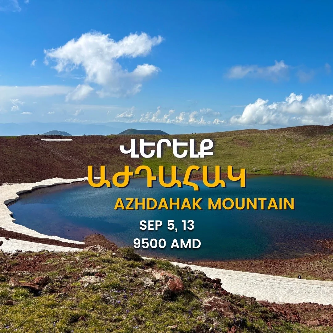
Azhdahak Mountain Hike
Next from Werelk Hiking ClubArjasar and the Forests of StepanavanOct 24, 08:00 – Oct 25A hike to the highest peak of the Geghama Mountains — Mount Azhdahak (3597m). Program: - Off-road transfer from Geghard village to the slopes of Paytasar - Hike to the crater of Karmir Katar - Ascent to the summit of Azhdahak - Return to the starting point Route details: - Length: 12 km - Relative altitude gain: 600 m - Difficulty: medium What to bring: comfortable warm clothes, sturdy hiking boots with thick soles, a backpack, spare clothes, a raincoat, sunscreen, a hat, sunglasses, and a personal first-aid kit. Bring food and 1.5–2L of water for a one-day picnic. The price includes transportation, truck transfer, and guide services. Registration can be canceled until 12:00 PM the day before the hike; otherwise, the fee is non-refundable. Meeting point: Republic Square, at the intersection of Amiryan and Abovyan streets.
An Armenian hiking club that organizes guided day hikes, multi-kilometer treks, campfire nights and nature cleanups across Armenia. Friendly, beginner-accessible trips with provided transport and guides — community-driven outdoor experiences.
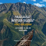
A hike to the highest peak of the Geghama Mountains — Mount Azhdahak (3597m). Program: - Off-road transfer from Geghard village to the slopes of Paytasar - Hike to the crater of Karmir Katar - Ascent to the summit of Azhdahak - Return to the starting point Route details: - Length: 12 km - Relative altitude gain: 600 m - Difficulty: medium What to bring: comfortable warm clothes, sturdy hiking boots with thick soles, a backpack, spare clothes, a raincoat, sunscreen, a hat, sunglasses, and a personal first-aid kit. Bring food and 1.5–2L of water for a one-day picnic. The price includes transportation, truck transfer, and guide services. Registration can be canceled until 12:00 PM the day before the hike; otherwise, the fee is non-refundable. Meeting point: Republic Square, at the intersection of Amiryan and Abovyan streets.
An Armenian hiking club that organizes guided day hikes, multi-kilometer treks, campfire nights and nature cleanups across Armenia. Friendly, beginner-accessible trips with provided transport and guides — community-driven outdoor experiences.
